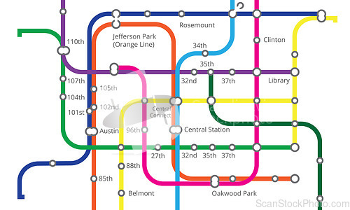
Underground, train railway and map for transport, navigation and travel with infrastructure in metro. City chart, subway transportation and diagram for urban journey, route and itinerary information
Image Id 5013260 - Image cost 1 download credit - Jpeg image
Photographer/Copyright: Peopleimages.com
Specifications
File size
0.9 MB (Megabyte)
File type
Jpeg/RGB
Dimensions
(width) 5000 px (height) 3000 px
Megapixle size
15 Mp
Print size at 300DPI
42.33 x 25.4 cm
Orientation
Horizontal
Description
Underground, train railway and map for transport, navigation and travel with infrastructure in metro. City chart, subway transportation and diagram for urban journey, route and itinerary information.
Link to this image: www.ScanStockPhoto.com/view_image.php?image=5013260
