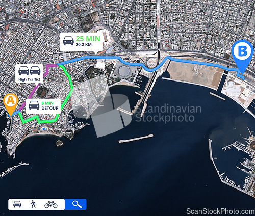
Satellite map, direction and location with travel information and navigation guide with route for trip. Technology, app and aerial view with journey info, transportation destination pin and landmark
Image Id 5018712 - Image cost 1 download credit - Jpeg image
Photographer/Copyright: Peopleimages.com
Specifications
File size
10.59 MB (Megabyte)
File type
Jpeg/RGB
Dimensions
(width) 5403 px (height) 4587 px
Megapixle size
24.8 Mp
Print size at 300DPI
45.75 x 38.84 cm
Orientation
Horizontal
Description
Satellite map, direction and location with travel information and navigation guide with route for trip. Technology, app and aerial view with journey info, transportation destination pin and landmark.
Link to this image: www.ScanStockPhoto.com/view_image.php?image=5018712
