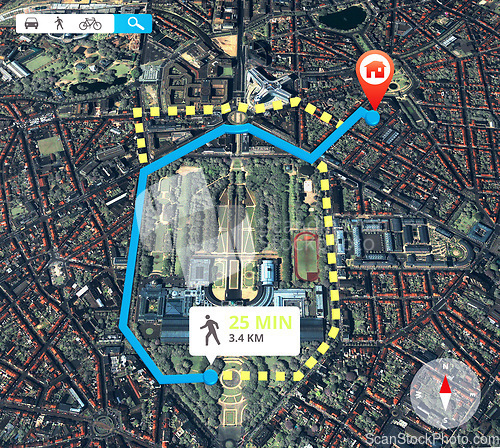
Satellite map, navigation and location with travel information and data for direction of route for trip. Technology, app and aerial view with journey info, transportation destination pin and landmark
Image Id 5019796 - Image cost 1 download credit - Jpeg image
Photographer/Copyright: Peopleimages.com
Specifications
File size
4.06 MB (Megabyte)
File type
Jpeg/RGB
Dimensions
(width) 2728 px (height) 2442 px
Megapixle size
6.7 Mp
Print size at 300DPI
23.1 x 20.68 cm
Orientation
Horizontal
Description
Satellite map, navigation and location with travel information and data for direction of route for trip. Technology, app and aerial view with journey info, transportation destination pin and landmark.
Link to this image: www.ScanStockPhoto.com/view_image.php?image=5019796
