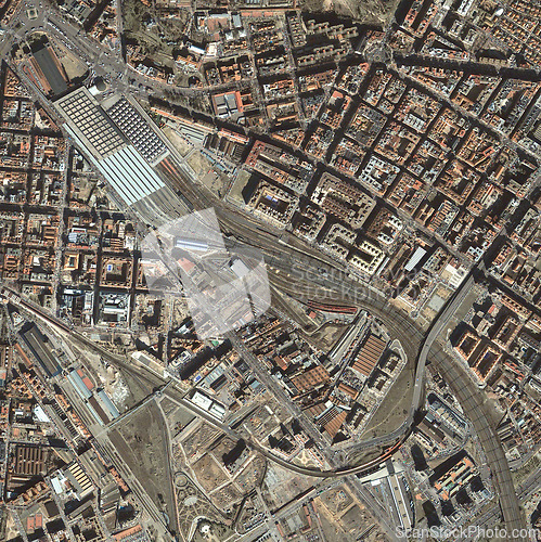
Town, buildings and top view of earth map with nature, water and residential landscapes. Globe, land and aerial of street with field and houses from aerospace satellite for environment development.
Image Id 5177596 - Image cost 1 download credit - Jpeg image
Photographer/Copyright: Peopleimages.com
Specifications
File size
3.66 MB (Megabyte)
File type
Jpeg/RGB
Dimensions
(width) 2523 px (height) 2528 px
Megapixle size
6.4 Mp
Print size at 300DPI
21.36 x 21.4 cm
Orientation
Vertical
Description
Town, buildings and top view of earth map with nature, water and residential landscapes. Globe, land and aerial of street with field and houses from aerospace satellite for environment development
Link to this image: www.ScanStockPhoto.com/view_image.php?image=5177596
