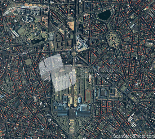
City, buildings and aerial of road for map with street lines, residential and town architecture. Landscape, geography and satellite, top view and atmosphere for urban development, globe and terrain
Image Id 5179004 - Image cost 1 download credit - Jpeg image
Photographer/Copyright: Peopleimages.com
Specifications
File size
3.22 MB (Megabyte)
File type
Jpeg/RGB
Dimensions
(width) 2728 px (height) 2442 px
Megapixle size
6.7 Mp
Print size at 300DPI
23.1 x 20.68 cm
Orientation
Horizontal
Description
City, buildings and aerial of road for map with street lines, residential and town architecture. Landscape, geography and satellite, top view and atmosphere for urban development, globe and terrain.
Link to this image: www.ScanStockPhoto.com/view_image.php?image=5179004

