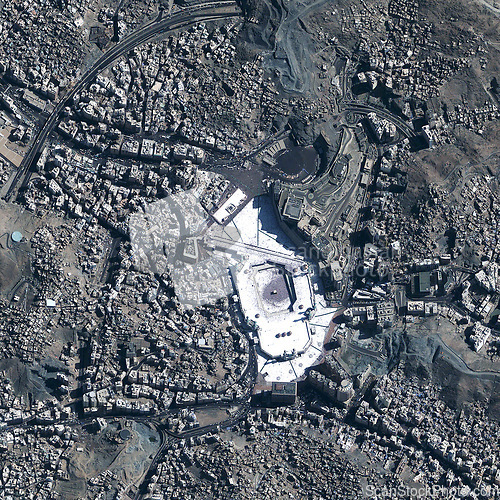
Location, aerial landscape and city map, Earth with satellite image and buildings with infrastructure. Urban, background and top view with topography, environment and geography with road area
Image Id 5179014 - Image cost 1 download credit - Jpeg image
Photographer/Copyright: Peopleimages.com
Specifications
File size
3.5 MB (Megabyte)
File type
Jpeg/RGB
Dimensions
(width) 2596 px (height) 2596 px
Megapixle size
6.7 Mp
Print size at 300DPI
21.98 x 21.98 cm
Orientation
Square
Description
Location, aerial landscape and city map, Earth with satellite image and buildings with infrastructure. Urban, background and top view with topography, environment and geography with road area.
Link to this image: www.ScanStockPhoto.com/view_image.php?image=5179014
