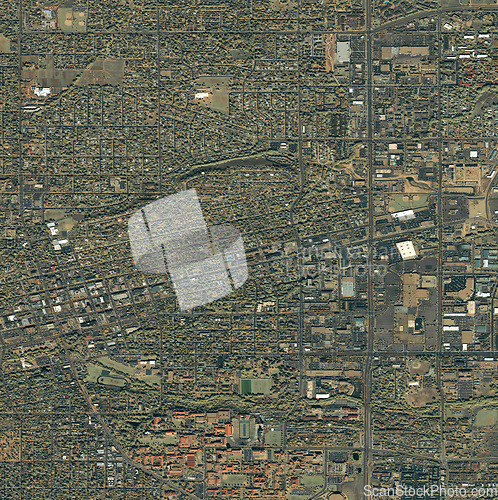
Map, buildings and aerial of city with street lines, residential and town architecture. Landscape, geography and satellite, top view and atmosphere for urban development, neighborhood and houses
Image Id 5179045 - Image cost 1 download credit - Jpeg image
Photographer/Copyright: Peopleimages.com
Specifications
File size
5.63 MB (Megabyte)
File type
Jpeg/RGB
Dimensions
(width) 3226 px (height) 3236 px
Megapixle size
10.4 Mp
Print size at 300DPI
27.31 x 27.4 cm
Orientation
Vertical
Description
Map, buildings and aerial of city with street lines, residential and town architecture. Landscape, geography and satellite, top view and atmosphere for urban development, neighborhood and houses.
Link to this image: www.ScanStockPhoto.com/view_image.php?image=5179045
