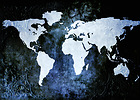
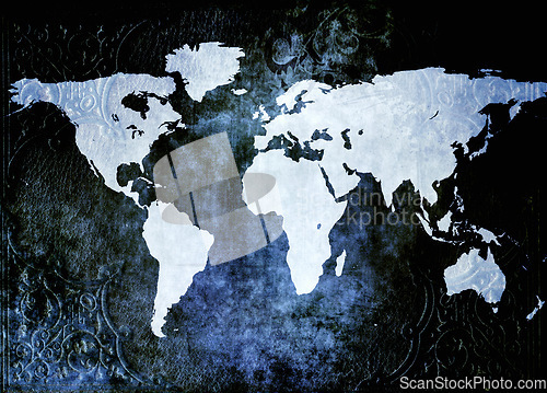
World map, South Africa and continents of geographical illustration, country or earth. Top view of planet, globe or atlas of ocean, land or geography above for information, grid or navigation
Image Id 5243817 - Image cost 1 download credit - Jpeg image
Photographer/Copyright: Peopleimages.com
Specifications
File size
4.27 MB (Megabyte)
File type
Jpeg/RGB
Dimensions
(width) 3922 px (height) 2813 px
Megapixle size
11 Mp
Print size at 300DPI
33.21 x 23.82 cm
Orientation
Horizontal
Description
World map, South Africa and continents of geographical illustration, country or earth. Top view of planet, globe or atlas of ocean, land or geography above for information, grid or navigation.
Link to this image: www.ScanStockPhoto.com/view_image.php?image=5243817