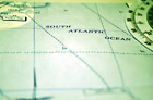
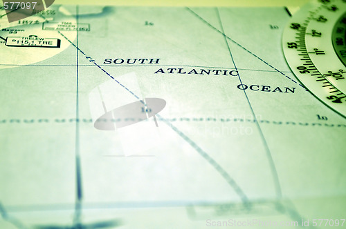
Air navigation: map of the South Atlantic Ocean
Image Id 577097 - Image cost 1 download credit - Jpeg image
Photographer/Copyright: FER737NG
Specifications
File size
4.6 MB (Megabyte)
File type
Jpeg/RGB
Dimensions
(width) 4288 px (height) 2848 px
Megapixle size
12.2 Mp
Print size at 300DPI
36.31 x 24.11 cm
Orientation
Horizontal
Description
Air navigation chart: map of the South Atlantic Ocean.
Link to this image: www.ScanStockPhoto.com/view_image.php?image=577097